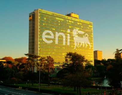
COMPANY
We are an integrated energy company committed to the energy transition with solid actions for carbon neutrality by 2050
Eni's research, innovation and technology translate into high rates of exploration success, discovering new fields throughout the world. This offers our people a stimulating, multicultural environment to work in. We promote international mobility to ensure our people achieve professional growth and a repertoire of continuously broadening skills. At Eni, internal growth and progression are an important way for us to maintain and develop our people. Our mobility programmes are backed up by training plans that foster continuous professional development.
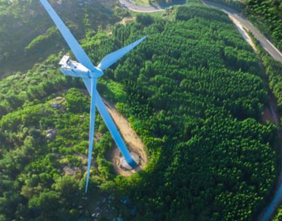
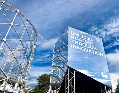
To overcome the challenge of decarbonisation and build a sustainable future for energy.
Eni’s Geodata Specialists work together to apply advanced geoscience data analysis techniques. This includes, but is not limited to Big Data, machine learning, advanced analysis applied to data processing, data modelling and data visualisation for studies that support Eni’s exploration activities.
They also conceptualise new approaches and methodologies using tools and workflows to analyse and interpret quantitative geophysical and geological data. They work to develop prototypes on an industrial scale for high performance computing systems and state-of-the-art visualisation devices.
Our Chief Geologists/Geophysicists are responsible for analysing and interpreting geophysical data (seismic, potential, electromagnetic) and integrating these into surface and subsoil geological data (geological maps, remote sensing data, outcrop data and samples) in order to develop geological models for use both in identifying situations conducive to the accumulation of hydrocarbons and the classification of reservoir attributes.

HSEQ activities play a decisive role in people's safety and sustainability.

At Eni, you can make a direct contribution to the development of our business.

To overcome the challenge of decarbonisation and build a sustainable future for energy.

Eni's Business Support functions comprise a variety of professions throughout the organisations.

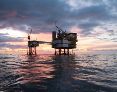
We are always looking for new sources to sustain our energy.

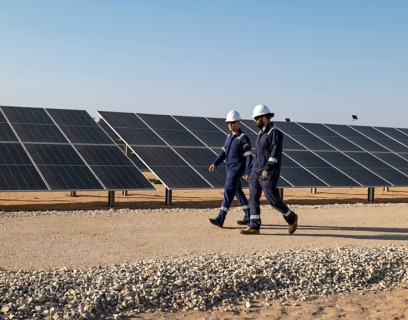
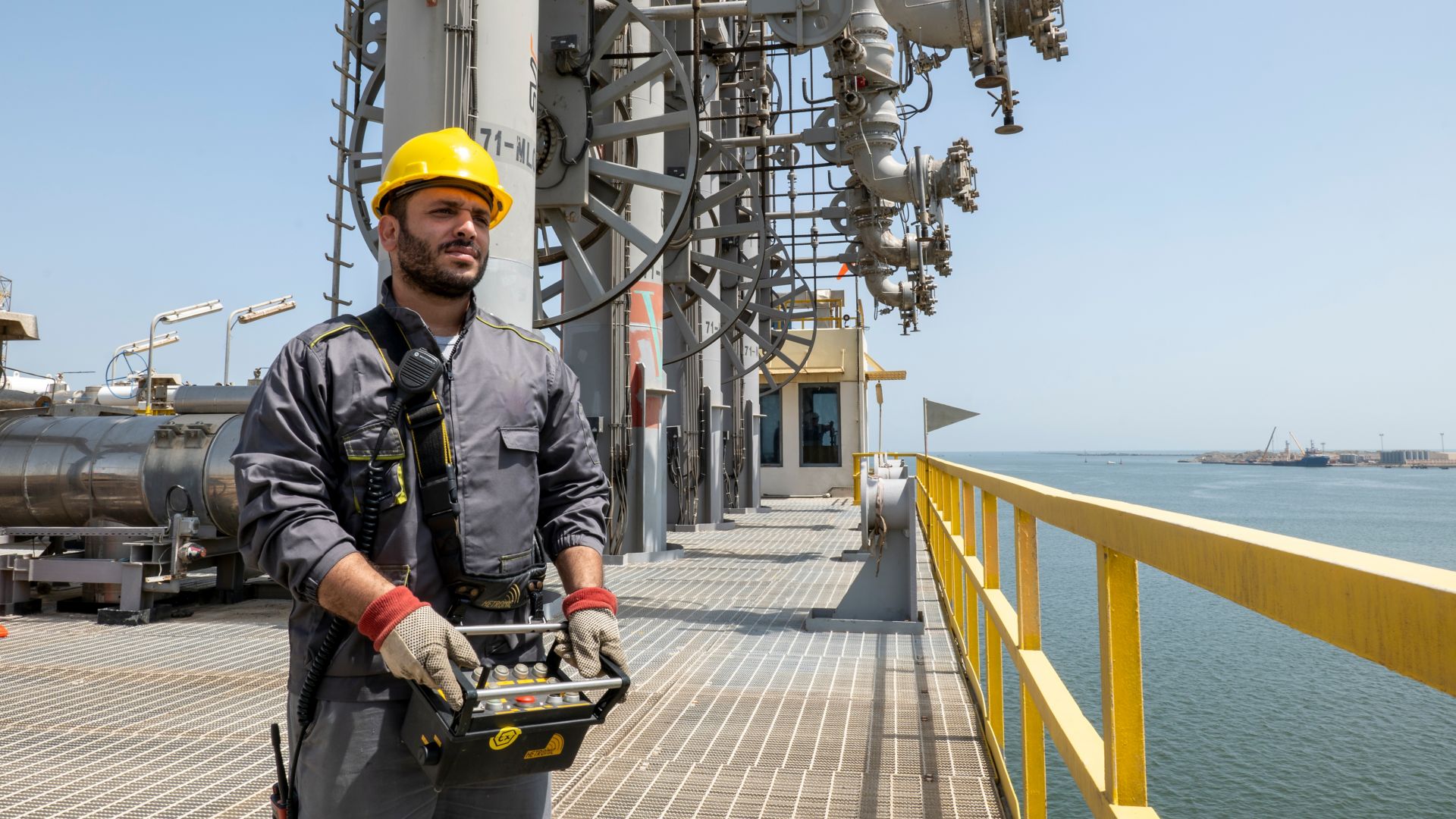
Eni's plant maintenance operations are coordinated by specialist staff.

Commercial and Trading operations enable Eni to seize major business opportunities.

Our colleagues working in R&D are the core of innovation at Eni.

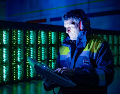
Digital transformation has become one of the most important elements of Eni's success.